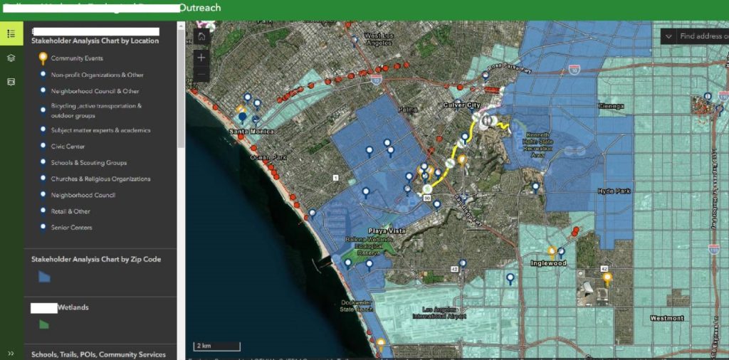
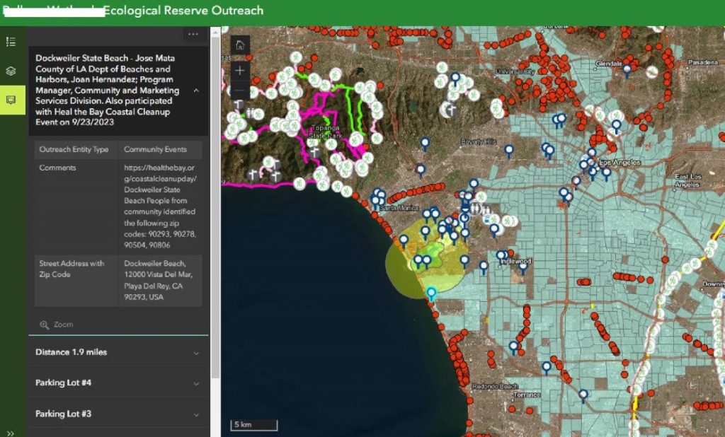
At Ballona Wetlands, we led a first-of-its-kind initiative: a GIS-integrated stakeholder analysis and community engagement strategy that redefined how environmental outreach is done. Our innovative approach enabled us to precisely map community stakeholders, identify hard-to-reach populations, and plan inclusive engagement events that connected thousands with a critical yet overlooked natural resource.
Challenge:
Despite its ecological importance, the Ballona Wetlands remained unfamiliar to many nearby residents. Community engagement efforts had previously failed to reach marginalized neighborhoods or address their specific barriers to participation.
Our Solution:
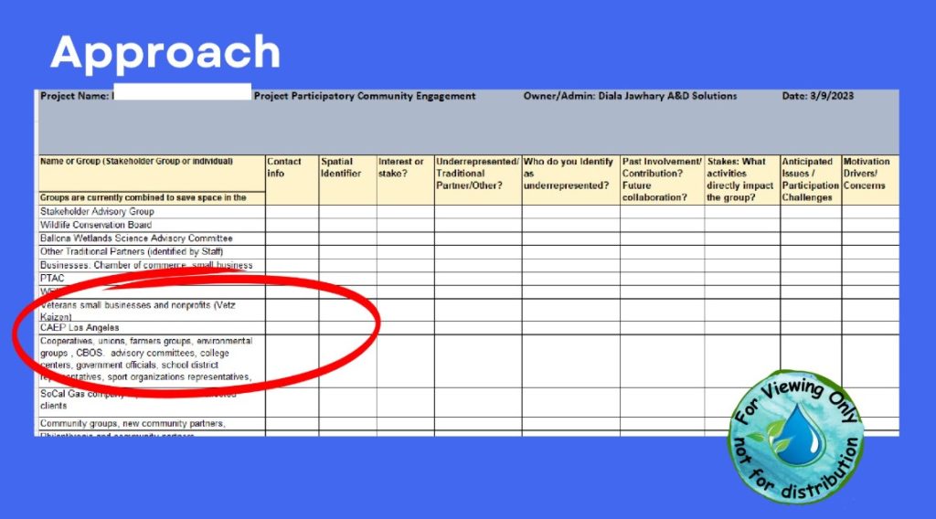
By integrating GIS technology with our sustainability and engagement expertise, we created a live, data-driven map of 200+ stakeholders across 20+ neighborhoods. We overlaid this with transportation routes, trails, and demographic insights to guide event placement and tailor outreach.
Results:
Engaged over 5,000 residents—many of whom had never heard of the wetlands
Improved local awareness by 45%
Reached communities previously left out of the conversation
Developed measurable, sustainable outcomes using real-time GIS tools
Lasting Impact:
Through accessible booklets, guided activities, and locally relevant messaging, we empowered residents to explore, understand, and protect the wetlands. This model not only informed smarter decisions but also built stronger, lasting connections between people and place.
From Insight to Action:
Our work at Ballona Wetlands proves that blending technology with thoughtful engagement creates more than metrics—it creates momentum for change.